Back to main Campsites page/map
- Campsite Coordinates: 41.95087, -113.33873
- Cost Per Night: $0
- Length of Stay: 2 nights in early September 2016
- Phone Reception?: No ATT or Verizon at the site, but I did have service up until I was about 5 or 10 minutes away from the site.
- Why I Was Here: I visited this area to climb Bull Mountain, the tallest mountain in the range. The trail to the top of the mountain starts from inside the campground.
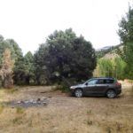
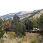
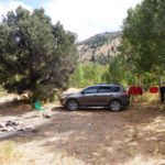
- How I Found the Site: I’d intended to stay in Clear Creek Campground (see below) before climbing Bull Mountain, but it was full, so I just kept driving down the road until I found an unoccupied dispersed camping spot.
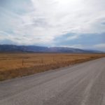
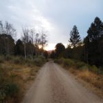
- Quality of the Access Road: Good dirt road. Any vehicle could make it.
- Crowds?: There were plenty of other campers in the area when I was there because it was Labor Day weekend, but even so I found a spot to camp without too much trouble. You’d probably have most of the area to yourself midweek. I couldn’t see any other campsites from my camp.
***
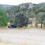
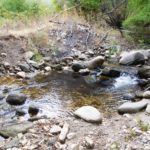
This campsite is one of many dispersed campsites along Clear Creek Road in the remote Raft River Mountains of far northwestern Utah. Clear Creek Campground is at the east end of the road (at coordinates 41.953351, -113.322911). This free campground has maybe 10 or so campsites. Some have picnic tables, and there’s one vault toilet there. The campground was full when I went there, so I continued further west until I found an unoccupied site along the road. A sign near the campground says that dispersed camping is allowed only in designated sites, and the sites are marked with small signs that have a tent icon on them. The campsite I stayed at was about 0.8 of a mile west of Clear Creek Campground, and I could easily walk down to the campground to use the toilet. A pretty little creek (Clear Creek) was just on the other side of the road from my camp. There is a 14-day limit in the campground and in any of the campsites outside of the campground.
