In this video I head into southern Utah’s Arches National Park to look for some obscure and difficult-to-find natural and man-made features. I experience both success and failure and see some incredible scenery along the way. Oh, and then I make tacos. (Click here if you can’t see the video below.)
GPS COORDINATES
* First (small) arch: 38.8325, -109.7017
* Sibling Arch (approximate location): 38.8424, -109.7056
* Far Out Arch: 38.8242, -109.6505
* Campsite: 38.861979, -109.744811
VIDEO LINKS
* My Arches hiking book
* Julien inscription photo source
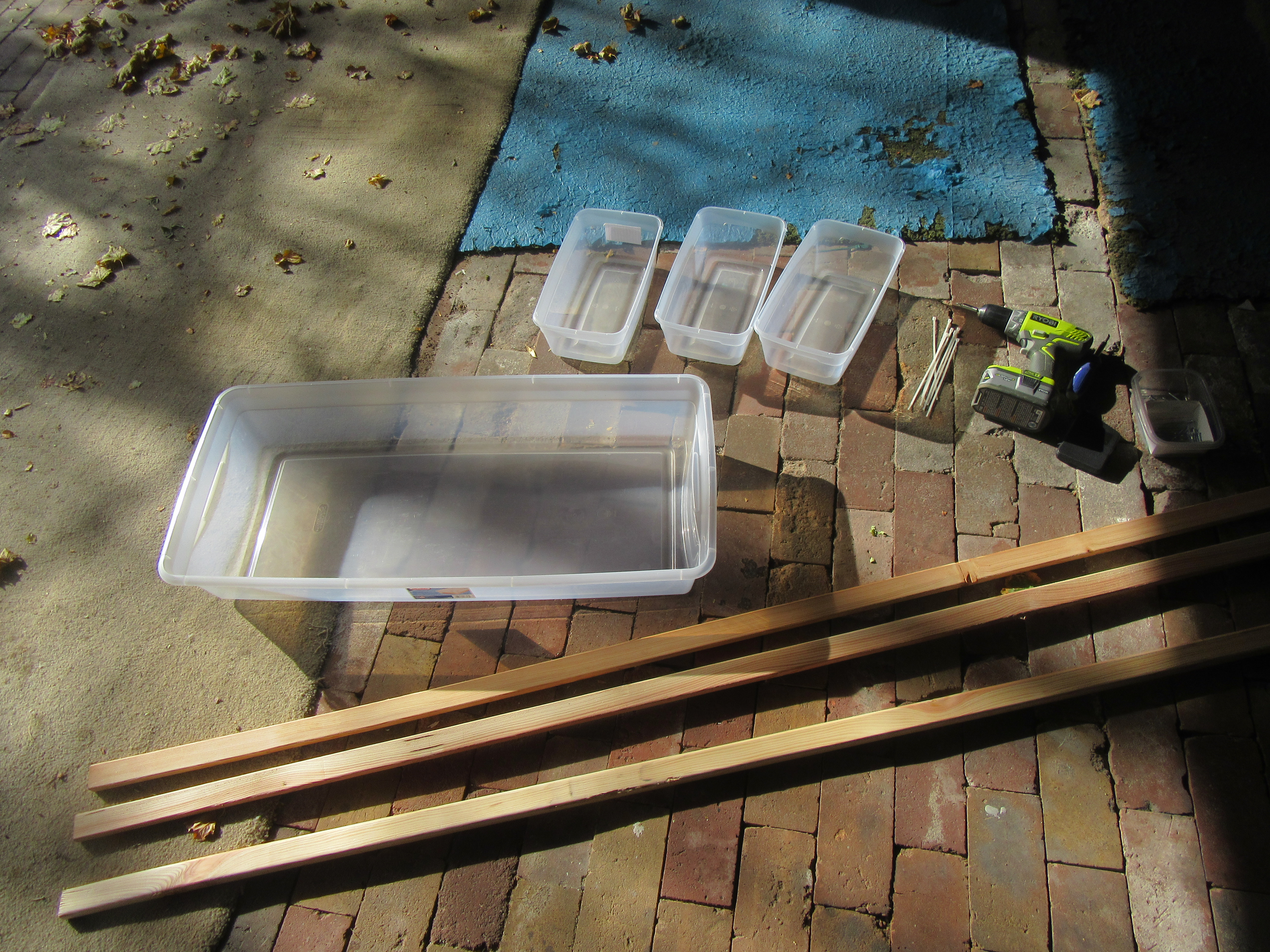
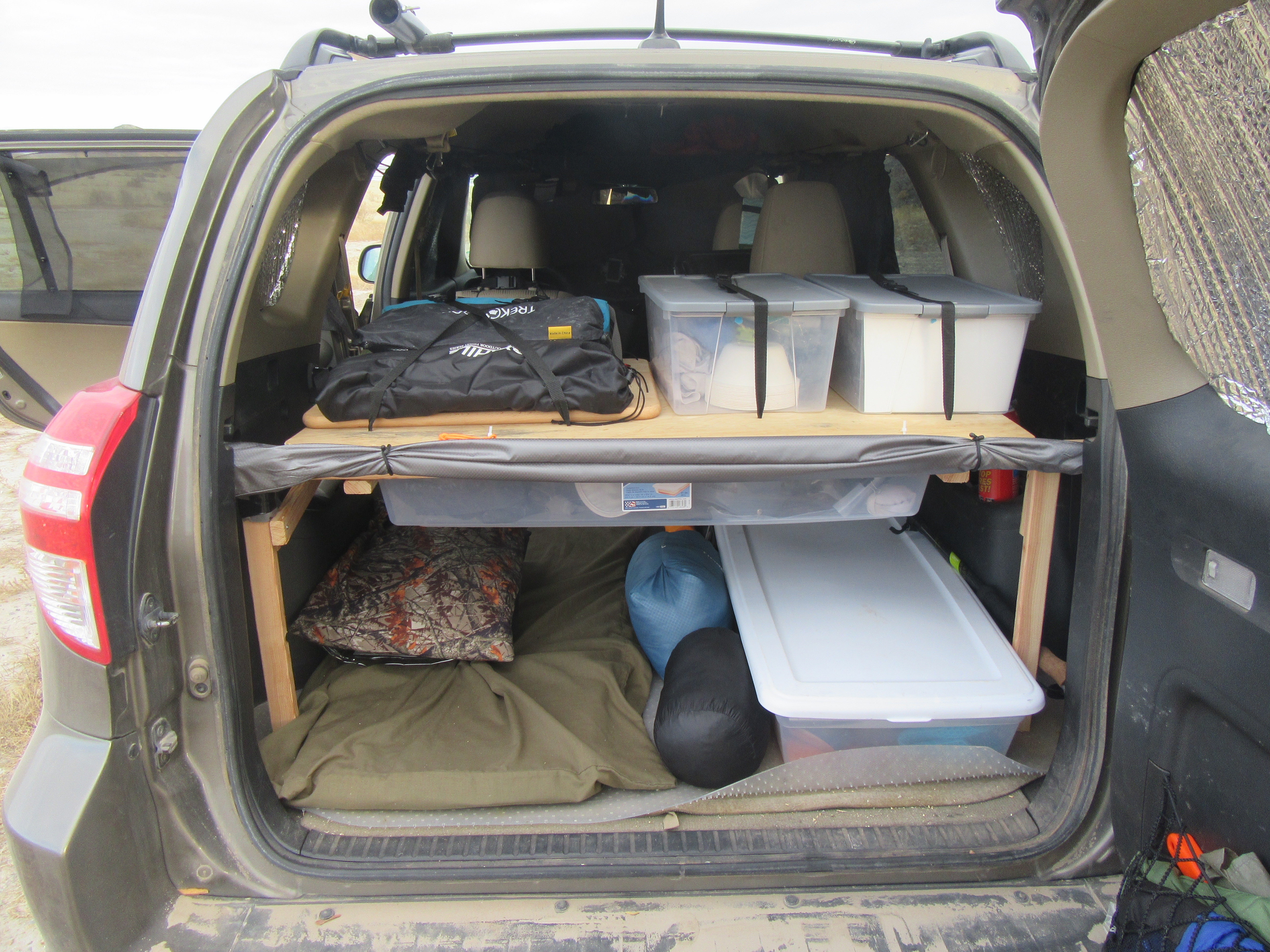
* Hanging table kit
* Little camping grill